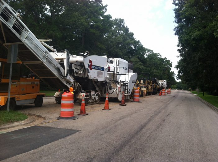
Tallahassee Reports has obtained information from the City of Tallahassee which shows the pavement condition of Tallahassee streets.
The City of Tallahassee recently retained a consultant to complete a detailed assessment of the condition of all streets and to develop a Pavement Management Master Plan.
The street segments were rated in one of seven categories. These categories include: Excellent, Very Good, Good, Fair, Marginal, Poor, and Very Poor.
Click Here to Search the Pavement Condition
of 6,466 Tallahassee Street Segments
The category ratings for the data obtained by TR shows that approximately 43% of Tallahassee streets are rated in the Excellent or Very Good category.
On the bottom end of the ratings, approximately 8.0% of Tallahassee streets are rated Poor or Very Poor.
The breakdown for all categories – based on miles – is show below:
Excellent: 15.0%
Very Good : 28.4%
Good: 20.1%
Fair: 16.8%
Marginal: 11.7%
Poor: 7.5%
Very Poor 0.5%
The City of Tallahassee has approximately 70 lane-miles of street resurfacing projects scheduled for 2019. Notable projects completed to date include Easterwood Drive through Tom Brown Park and several streets in the Ox Bottom and Summerbrooke neighborhoods.
Additionally, projects expected to be completed by the end of the year include Jim Lee Road south of Magnolia, Gamble Street and other nearby roads in the Bond Neighborhood, Woodgate Way between Centerville Road and Thomasville Road, Betton Road between Centerville Road and Thomasville Road, and pavement preservation treatments in the Eastgate neighborhood.


COT ALERT:
Whenever we hear words such as “the COT recently retained a consultant” the COT ALERTsiren, bells, and whistles should all go off at once.
History has taught us that under the above conditions the COT only hires insider usual suspect consultants with dubious qualifications and bases their decision to hire on the possibility of future campaign contributions, kickbacks, and other nefarious ill gotten gain.
Well Gary Yorden had those rubber duckies floating down paved streets in those TAPP advertisements…so why not choose him????
I’d like to see the county do this, which is where our worst roads are located. They’d have to add categories for “Extremely Poor” and “Barely Passable” for some of the roads down near Woodville, and out Blountstown Highway.
4287 miles of road in Tallahassee? How is that possible if the total land area is only 100 sq. miles?
4287 miles * (20 / 5280) miles = 16 square miles.
This is assuming most roads are two lanes, each 10 ft wide. Of course some roads are wider, but most are not. So round it up to 20 total square miles of roadway. That leaves 80 square miles for buildings and land. Sounds about right to me… look out your window inside city limits. Do you see a roadway?
where is the sidewalk west of devra on tharpe ?. was it stolen ?